Activities

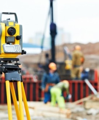
Main and special types of engineering surveys

The surveys are carried out in accordance with Article 47 of the Town Planning Code of the Russian Federation and Resolution No. 20, January 19, 2006 in compliance with the requirements of technical regulations.

The customer ( constructor) and the executor shall determine the composition of works carried out in the course of engineering surveys of both basic and special types; their volume and method of execution taking due specificity of the respective territories and the sites located on them; conditions of transfer of results of engineering surveys, and also other conditions determined according to the civil legislation of the Russian Federation.

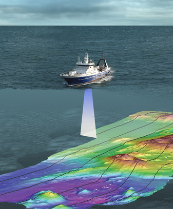
Marine engineering and geological surveys

  • Bathymetric survey (seabed measuring)
  • Seabed hydrolocation survey
  • Magnetometry
  • high frequency and low frequency continuous seismic acoustic profiling
  • Digital multichannel 2D seismic survey (common-midpoint (CMP) method, common depth point (CDP) method) in high and ultrahigh resolution
  • Sampling
  • Seabed soil tests and laboratory research
  • Drilling of engineering and geological wells with coring (sea depth up to 50 m, well depth - up to 150 m below the bottom)
  • Side view hydrolocation (sonar)
  • Static probes

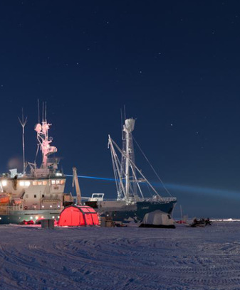
Navigational-hydrographic support of different types of sea towing and construction works

  • Transport route survey
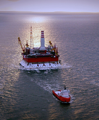
  • Site survey before offshore platforms installation and pipeline construction.
  • Navigation maintenance of the transportation vessels according to approved towing routes
  • Navigation and positioning of floating cranes, pipelayers and towboats.
  • Executive survey of actual position of the facilities.
  • Navigational-hydrographic maintenance and control of dredging operations
  • Navigational, hydrographic and geodetic maintenance of pipeline landfall operations

High-precision monitoring, construction position and inclination control

The idea belongs to the sphere of monitoring systems of engineering structures displacement and can be used for continuous control of displacement and oscillation of bridge structures elements, dams, towers and other engineering structures with the purpose of early diagnostics of the structure integrity, as well as operational detection of the structure stability loss.

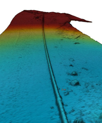
Pipelines depth determination and control in trenches

It is recommended to measure the depth of the main pipeline to determine the actual depth of occurrence and deviations of the depth from the project design.

Environmental protection design and consulting services

The company offers comprehensive project management from the survey stage to the final inspection.
Availability of highly qualified specialists and specialized certified computer programs allow the assessment of environmental impact and design characteristics in accordance with the requirements of environmental legislation at the design, construction and operation stages:
Environmental Impact Assessment / environmental action list
Maximum allowable emission
Permissible discharge standards
Draft regulations on waste generation and limits on waste disposal / hazardous waste passport
Environmental statistical reports

Oceanographic and meteorological data monitoring

Instrumental measurements and visual analyses of hydrometeorological elements and events carried out at stationary and mobile observation points.

  • Wave height, direction and period data
  • Data on speed and direction of currents
  • Sea level changes data
  • Meteorological data (wind, pressure, temperature, etc.)

Underwater surveys with remotely operated vehicles (ROV)

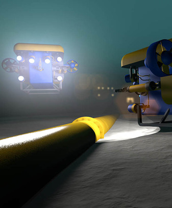
The companies deploying the underwater structures (underwater pipelines, terminals, vessels, outlet headers of treatment plants), get the precise information about the state of their property. Being well-informed our specialists are able to evaluate whether maintenance or repair is required.

Remotely operated underwater vehicles (ROVs) are remote control underwater robots driven by an individual on the surface. These robots are tethered by a series of wires that send signals between the operator and the ROV. All ROVs are equipped with a video camera, propulsion system, and lights. Other equipment is added depending on the specifications required. These include a manipulator arm, water sampler, instruments that measure clarity, light penetration, temperature, and depth.

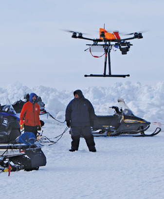
Unmanned aerial vehicle (UAV)

  • Ice monitoring
  • Spillage monitoring
  • Pipelines inspection and other long-range sites
  • Thermovision surveying
  • Monitoring of forest fires
  • Wildlife spotting

Cameral surveying work

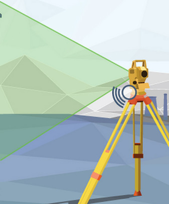
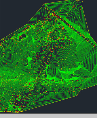
For topographical work, field studiessuggest leaving the terrain and its direct study. But at the first stage, the study of already available materials and maps and their detailed study is carried out. Comparison of archival and field data is among the tasks of survey engineers. Currently, almost all the office work of surveyors is carried out on a computer. Cameral processing on the computer is necessary when working on the projected construction objects.

Field studies in geodesy have at leastimportant than cameral. Therefore, employees often have to travel to the site for measurements and surveys. The accuracy of these measurements depends on the quality of the information received. When working at the facility, all data is recorded in a special log.